Seat How at Whinlatter Forest

Date Updated:
Recommended Map: Explorer OL4
| Difficulty Rating:
Family Walk Danger Rating: |
Time to complete: Allow 2.5 hours
Distance: Under 4km (2.5 miles) |
Car Parking/Walk Start:
Car Park at the Whinlatter Forest Visitors Centre, near Braithwaite, Keswick. |
Overview of Walk:
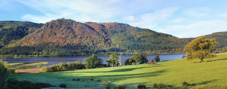
Located a couple of miles from Braithwaite, near Keswick, you will find the Whinlatter Forest Visitor Centre in the heart of England’s only true mountain forest. This is a great walk to do, especially after a wet spell, as the paths in Thornthwaite Forest are excellent and stay dry. Also a good walk if there’s a chance of rain as the trees make good shelter. However, whatever the weather, the walk and visitor centre / playground will make a fun day out for families (see points of interest shown below).
| Refreshments:
Cafe and toilets at the Visitors Centre. |
Wheelchair and Push Chair Suitability:
Not suitable for wheelchairs. We’ve done it with a pushchair but it’s hard going. |
Public Transport:
77/77A Keswick/Lorton |

Walk Description:
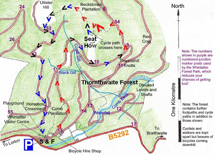
From the car park walk past the Whinlatter Visitor Centre and the bicycle hire shop onto the main forest road heading uphill on the left. Keep on the main forest road heading uphill until you reach junction number 1. Take a right here over Black Gill and follow the forest road as it passes over Comb Gill and heads down passing junction numbers 10 and 9.
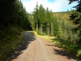 At junction number 9 take the main forest road on the left as it swings uphill again with views of Skiddaw, Bassenthwaite Lake and Derwentwater. Continue on and watch out for marker number 54 on the left, where you take the made path on your left heading upwards as it zigzags through the trees. The steepness increases but fortunately for only a short distance. Eventually, a bicycle track crosses the footpath but you will need to continue on and yards later bear left to the summit of Seat How.
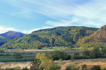
The view from Seat How is a lovely open aspect and takes in Derwentwater and Keswick on the left with the higher mountain, Grisedale Pike, on the right.
 Descend from Seat How bearing left and back into the trees before shortly heading uphill again towards Ullister Hill. Follow the path as it takes you down to junction marker number 53, where you take a left. Continue on this fairly level track, taking a left at junction marker number 3. Follow the main forest road downhill and continue straight on at the Horsebox Crossroads (junction number 2). Continue on this track until you see a sculpture of a squirrel. Take the path on the left as it descends through the playground, and for older children, the ‘Go Ape’ high wire forest adventure attraction.
Points of Interest:
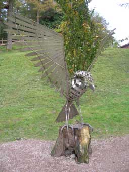 Since 2001, Ospreys have been nesting in the summer around Bassenthwaite Lake before returning to Africa for winter. Prior to 2001, the last recording of Ospreys breeding in the England was in 1840. At the Whinlatter Forest Centre there is a live web cam link on a large screen. Additionally, highlights of the Osprey season can be viewed at www.ospreywatch.co.uk/
Older children may appreciate Go Ape! – the high wire forest adventure, which is located in the Whinlatter Forest. For younger children, there’s a free adventure playground. www.goape.co.uk/ You can also hire bicycles for use on the off road cycle tracks at Whinlatter Forest.
Whinlatter is a red squirrel reserve where steps have been taken to protect and support them.
Rate This Walk
User Review
( votes)0 = worst; 1 = disappointing; 2 = average; 3 = a really good walk; 4 = I recommend this walk; 5 = one of the best walks I’ve done
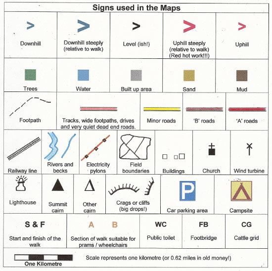
Whilst we try our very best to ensure the accuracy of this information, we accept no liability for anyone getting lost or injured. You should always consult your ordnance survey map for exact details and wear appropriate clothing for the weather conditions.
