Overview of Binsey Walk:
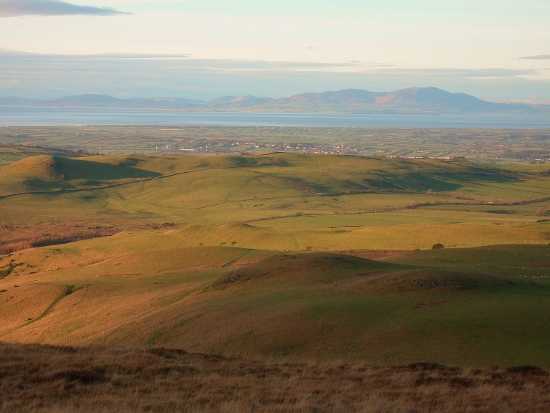
Tucked away to the north of Bassenthwaite Lake lies Binsey, a painless climb rewarded with surprisingly breathtaking views in every direction. It’s an easy family walk to the summit of 447m above sea level, partly because the walk starts at around 250m.

| Refreshments:
Snooty Fox Inn, Uldale & Castle Inn, Bassenthwaite Lake. |
Wheelchair and Push Chair Suitability:
Not suitable. |
Public Transport:
73/73A – Carlisle/Calbeck/Keswick (stops at Uldale) |
Submitted:28Sep10
Date Updated:
Recommended Map: Explorer OL4
Buy here to support our Free Walk Guides
| Difficulty Rating:
Family Walk Danger Rating: |
Time to complete: 1h 45m tops
Distance: About 4.5 km (3 miles) |
Car Parking/Walk Start:
There is a small lay-by car parking area. If it’s full you may need to park (with care) on a grass verge in the vicinity. |
Binsey Walk Description:
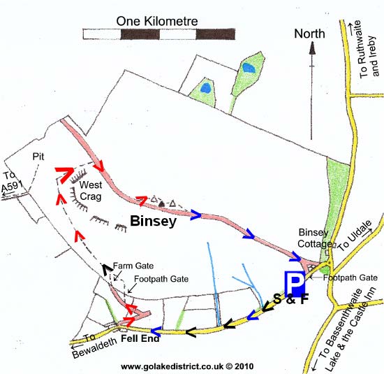
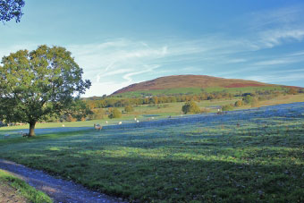 From the car parking area, follow the road to Bewaldeth in a westerly/south west direction, enjoying the good views over Bassenthwaite Lake. You eventually come to some farm buildings and terraced cottages. Take a right before the cottages and follow the public bridleway sign through the field as you zigzag to a gate at the top.
Go through the gate and after about 15 yards bear left on a faint grass path. Keep on this path as it runs parallel to the stone wall below. It eventually starts to go up and you begin to move further away from the stone wall. You walk underneath West Crag (on your right) and ahead you should see a wind farm to the left and small hill which looks like a saddle.
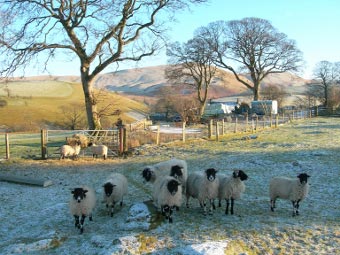
The path looks like it’s heading for a stone wall, but about 100 yards before it you should spot a more distinct grass path which heads steeply uphill in an easterly direction round the side of West Crag. As you follow this path you may hear running water to the left of you and the view of the Solway Firth begins to open up beautifully.
As you get nearer to the Crag (on your right) you may briefly lose the path for 20 yards or so, but keep going in the same direction and you should join a wide distinct path which you join and turn right to continue going upwards. After a short while, watch out for a narrow path off to the left which goes to the first of three cairns.
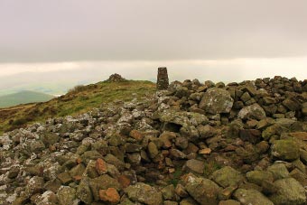
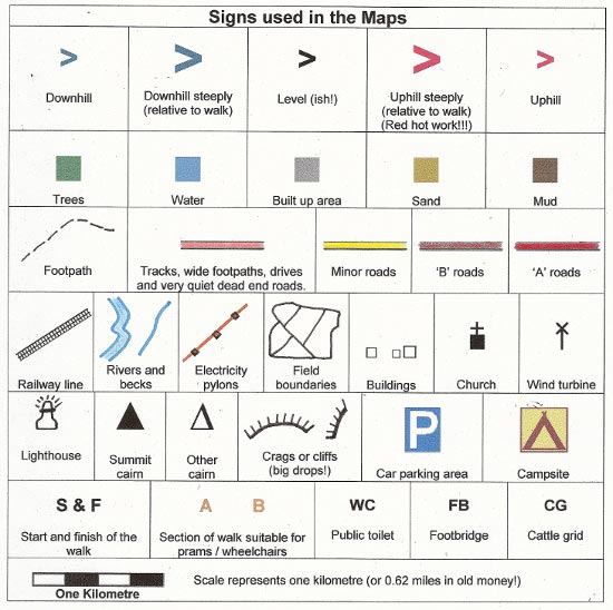
 The Summit is quite something: an ancient tumulus sits on it. A number of wind shelters have been created from the stones.
Descend in easterly direction heading towards Overwater. It takes less than 15 minutes to return to the car parking area at the bottom.
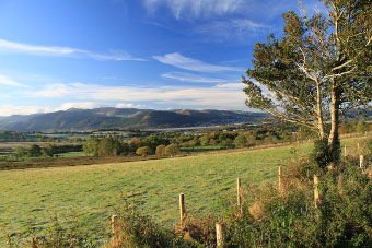
The photo below shows the spectacular panorama from Binsey looking towards Skiddaw. You can see Overwater on the far left and Bassenthwaite Lake on the right.

Points of Interest:
The hamlet of Ruthwaite, which sits under Binsey was the home of the famous huntsman, John Peel (1777 – 1854) the subject of the famous song “D’Ye Ken John Peel”.
Rate This Walk
User Review
( votes)0 = worst; 1 = disappointing; 2 = average; 3 = a really good walk; 4 = I recommend this walk; 5 = one of the best walks I’ve done
Here’s a selection of products you might find useful in this area of the Lakes:
Whilst we try our very best to ensure the accuracy of this information, we accept no liability for anyone getting lost or injured. You should always consult your ordnance survey map for exact details and wear appropriate clothing for the weather conditions.
