Submitted: 3Jan11
Date Updated:
Recommended Map: Explorer OL7
An easy family outing
Danger Rating:
See below
About 2.5 hours plus time for lake cruise
Distance: Under 6.5km (4 miles)
Overview of Walk:
This walk combines a lake cruise on Windermere with a gentle walk on the quieter western side of the lake. Latterbarrow is only 244m high but offers a 360 degrees vantage point with good views over Windermere.

| Refreshments:
Non en-route unless you divert into Hawkshead, so don’t forget your picnic. |
Wheelchair and Push Chair Suitability:
Not suitable. However, there is a lake shore path south of Wray Castle (via the church) which is ideal. |
Public Transport:
See Car Parking Note – Buses to Brockhole and Ambleside on numbers 555 and 559 |
Latterbarrow & Windermere Walk Description:
 After leaving the ferry at Wray Castle proceed uphill to the castle itself. From the castle, bear right to walk down the long drive. After the Gatehouse, you reach the public highway where you turn left to walk down the road until you see a public footpath sign on the right. Leave the road and head through the fields and over a footbridge.
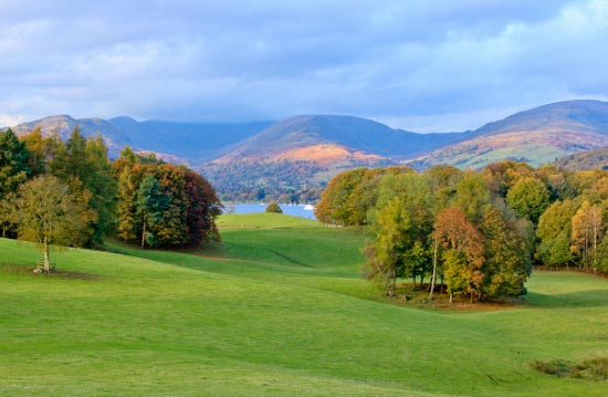
Bear right through several fields and as you head upwards a view of Blelham Tarn opens up on your right. It eventually comes out at farm buildings where you need to follow the road for Outgate and Hawkshead. You soon join the road between High Wray and Hawkshead where you need to bear right heading in the direction of Hawkshead.
 Look out for a public footpath sign which points off the road, through a gate, to start you ascent of Latterbarrow.
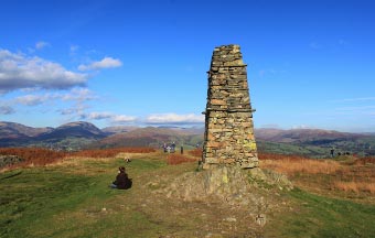
The path narrows in between two stone walls, keep to the one on the left (although they both go the summit). The going gets steep, then there’s a boggy section before you continue your steep ascent on stone steps. The steep climb is short lived and it easies when you get nearer to the summit cairn/monument (which must be at least 15ft high!).
The best views over Windermere are about 30 yards to the north east of the monument.
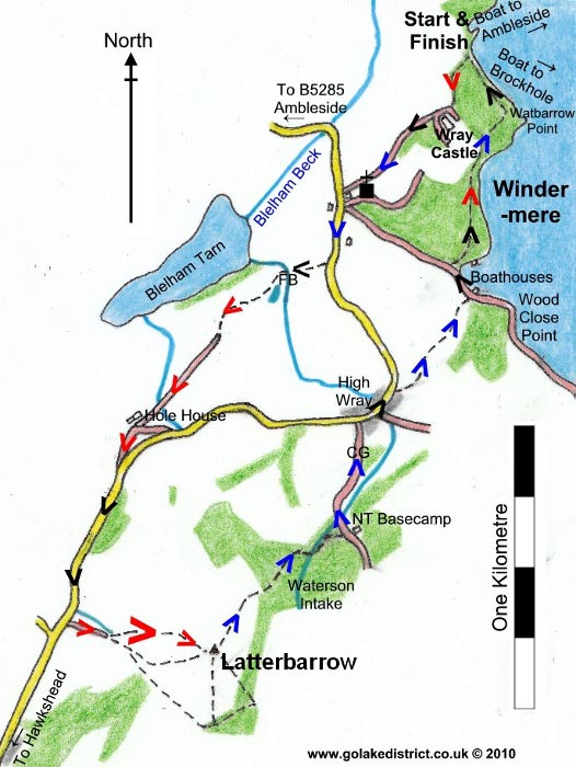
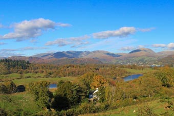
Descend from Latterbarrow heading for Windermere and Wray Castle. Go through a kissing gate into a wooded area. The path comes to a corner of a stone wall where you cross a beck and come out onto a wide forest track.
Head past the National Trust Base Camp and continue heading downhill.
When it joins the road at the bottom turn right and head through High Wray. About 30 yards after the village hall, turn right to leave the road for the public footpath for High Wray Bay.
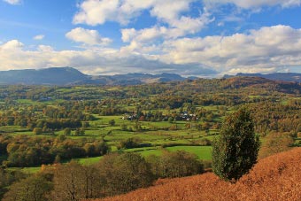 Proceed down to the lake through the boggy fields with a high stone wall on your left, which becomes a fence before becoming a stone wall again.
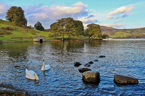
At the bottom you reach a wide shoreline path (ideal for Prams/wheelchairs). Take a left and then you shortly take a right on a public footpath to keep following the lake shoreline. Keep close to the shoreline until you return to the jetty for your return trip across the lake.
Points of Interest:
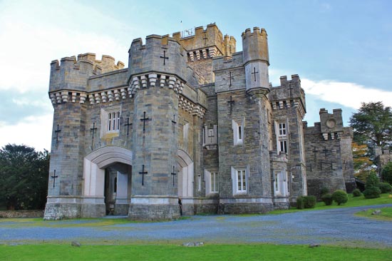
Wray Castle, built in 1840, is not really a castle but a private house which is now owned by the National Trust. The gardens are open to the public and occasionally the house. There are a good variety of trees to see in the gardens including a mulberry tree planted by William Wordsworth in 1845.
Rate This Walk
User Review
( votes)0 = worst; 1 = disappointing; 2 = average; 3 = a really good walk; 4 = I recommend this walk; 5 = one of the best walks I’ve done
Whilst we try our very best to ensure the accuracy of this information, we accept no liability for anyone getting lost or injured. You should always consult your ordnance survey map for exact details and wear appropriate clothing for the weather conditions.
