Rannerdale Knotts Walk
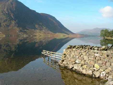
Submitted: 23Dec09
Date Updated: 28 March 2016
Recommended Map: Explorer OL4
| Difficulty Rating:
Steep section Danger Rating: See below | Time to complete: About 2 hours
Distance: About 4 km (2.5 miles) | Car Parking/Walk Start:
Car parking area closest to Rannerdale Farm. |
Overview of Walk:
The Rannerdale Knotts walk is a good family walk (our children could do this one at four years of age). The initial accent is steep, but the views of glorious Loweswater, Cummock Water and Buttermere make it all worthwhile . The descent is gradual and a short diversion mid way through the walk can take advantage of the facilities in the village of Buttermere.
DANGER NOTE: On the assent children should be kept close at hand and reminded not to stray from the path, otherwise there are some nasty drops. With this in mind any danger will be overcome.
| Refreshments:
Short diversion to village of Buttermere mid-way through the walk. | Wheelchair and Push Chair Suitability:
Not suitable. | Public Transport:
77/77A – Keswick/Lorton |
Walk Description:
From the car parking area close to Rannerdale Farm, walk south along the road for 20 yards before following the “public footpath” sign up the steps of Rannerdale Knotts.
The steps end and the path becomes gravel then grass. Head steeply uphill in a Easterly direction, ignoring two faint paths off to the left.
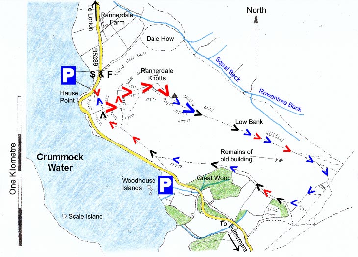
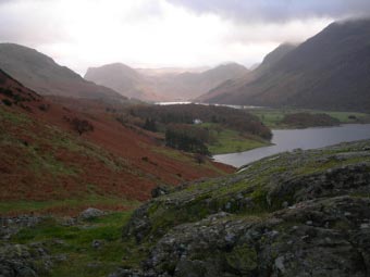
A glorious view of Buttermere comes into view on the right. Take the distinct path on the left so that you are at first heading in a north north-easterly direction. After a few minutes, take the path on the right and keep on the path in a north-easterly direction (it soon becomes steps). It is especially important to keep children close at hand on this section of the walk. When the steps end, continue on the path on the grass.
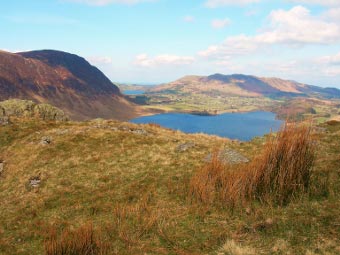
The path swings to the right, and with a little more effort, you soon reach the summit cairn of Rannerdale Knotts. The view of Buttermere is superb. There is also a glimpse of Loweswater and, on a clear day, the Solway Firth and Scottish hills are visible.
From the summit head in a East-South East direction towards Buttermere. Just after the remains of a barn the path splits into three: Head right towards Buttermere. In a minute the path splits again: bear right and within seconds bear right again.
As you descend steeply bear right when you approach the woods picking up a path just above the woods (if you want to visit Buttermere for refreshments keep on the path instead of bearing right).
With the woods on your left head back towards Crummock Water. The path joins a barb wire fence and the remains of an old wall. The path drops down towards the road. Don’t go on the road; keep going in a north westerly direction until you rejoin the path from the start of the walk.
Rate This Walk
User Review
( votes)0 = worst; 1 = disappointing; 2 = average; 3 = a really good walk; 4 = I recommend this walk; 5 = one of the best walks I’ve done
Whilst we try our very best to ensure the accuracy of this information, we accept no liability for anyone getting lost or injured. You should always consult your ordnance survey map for exact details and wear appropriate clothing for the weather conditions.
